
NEW DELHI: The tropical Pacific Ocean has warmed significantly compared with the same period last year, offering new evidence that heat is building in one of the world’s most important climate regions as El Nino rages.
Daily sea surface temperature data from the US National Oceanic and Atmospheric Administration (NOAA) show the Nino 3.4 area, a specific patch of the central Pacific Ocean used by scientists to track global El Nino and La Nina climate patterns, got warmer in 2026.
The region remained warmer on every day between June 1 and July 4 in 2026 than during the corresponding period in 2025, with the gap widening to 1.64°C by July 4, until when the data is available.
India Meteorological Department (IMD) has forecast below-normal rainfall for July, citing the strengthening influence of El Nino over the equatorial Pacific after India recorded its driest June in more than a century.
The sustained temperatures above 29°C are particularly noteworthy because warmer ocean surfaces release more heat and moisture into the atmosphere, influencing rainfall patterns and atmospheric circulation far beyond the Pacific.
For India, the implications are significant.
The southwest monsoon provides about 70% of the country’s annual rainfall and supports agriculture, reservoirs and drinking water supplies.
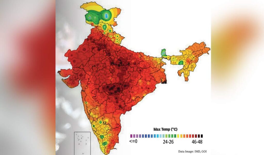
A stronger El Nino often raises the risk of below-normal monsoon rainfall, heatwaves and uneven rain distribution, although other climate drivers such as the Indian Ocean Dipole (IOD) and short-term weather systems also influence the final outcome.
The IMD has already projected July rainfall to remain below normal over most of the country, even though spells of widespread rain are expected in early July.
The projection comes after India witnessed its fifth-driest June since 1901, as monsoon was delayed across several regions, causing rain deficits and heat conditions to linger longer than they usually do.

We are a multimedia news network. Website : www.7xnews.com Based in New Delhi (India)
Youtube : umakantlakheraspeaks@gmail.com